CountryBasutoland
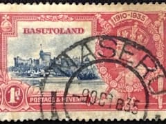
Basutoland
Town
Maseru
Cacellation Date
9 Oct 1935
Town Info
Maseru is the capital city of Lesotho, a landlocked country encircled by South Africa. The city is on the Caledon River. Traditional crafts feature at the cone-shaped Basotho Hat, a shop and information center. On the Thaba Bosiu plateau, east of the city, are ruins dating from the 19th-century reign of King Moshoeshoe. Thaba Bosiu overlooks Mount Qiloane, a conical mountain that is one of the nation's symbols.
Location
Black Page 2
Basutoland
Town
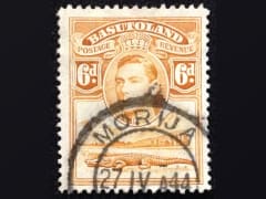
Morija
Cacellation Date
27 Apr 1944
Town Info
Morija is a town in Lesotho, south of the capital, Maseru. It was the site of the country's first French Protestant mission, reflected in 19th-century buildings like the Lesotho Evangelical Church. The 1843 Maeder House is a gallery and cultural center. Artifacts at the Morija Museum & Archives span Basotho jewelry and weapons, plus art and fossils. Dinosaur footprints cover a rock face on nearby Makhoarane Mountain
Location
Black Page 2
Basutoland
Town
Phamong
Cacellation Date
13 May 1937
Town Info
Phamong is a community council located in the Mohale's Hoek District of Lesotho. Its population in 2006 was 8,402. Chieftainess Nthati Bereng Bereng was confirmed into office as Principal Chief of Phamong at a ceremony presided over by King Letsie III on August 27, 2004.
Location
Black Page 2
Basutoland
Town
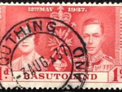
Quthing
Cacellation Date
3 Aug 1937
Town Info
Quthing is a district of Lesotho. Moyeni, is the camp town or capital of the district. There are two of the most important sets of dinosaur footprints in the region. There is a large panel of Bushman paintings at Qomoqomong.
Location
Black Page 2
CountryBelgian Congo
Belgian Congo
Town
Costermansville
Cacellation Date
31 May 1951
Town Info
Bukavu is a city in eastern Democratic Republic of the Congo (DRC), lying at the extreme ... Originally named "Costermansville" (in French) or "Costermansstad" (in Dutch) after Vice Governor-General Paul Costermans until 1954, Bukavu is a city in eastern Democratic Republic of the Congo, lying at the extreme south-western edge of Lake Kivu, west of Cyangugu in Rwanda, and separated from it by the outlet of the Ruzizi River. It is the capital of the South Kivu province and as of 2012 it had an estimated population of 806,940.
Location
Black Page 2
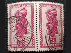
Belgian Congo
Town
Elisabethville
Cacellation Date
Town Info
Location
Black Page 2
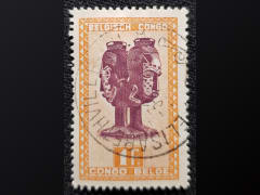
Belgian Congo
Town
Irumu
Cacellation Date
5 Jan 1915
Town Info
Irumu is a territory of Ituri province, Democratic Republic of the Congo. It is located in the northeastern part of the country, 1,700 km east of the capital Kinshasa.
Location
Black Page 2
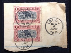
Belgian Congo
Town
Jadotville
Cacellation Date
23 Oct 1949
Town Info
The Siege of Jadotville was an engagement during the Congo Crisis in September 1961. "A" Company, 35th Battalion (UN service) of the Irish Army ONUC ... Location: Jadotville, Katanga Result: Katangese victory Date: 13–17 September 1961
Location
Black Page 2
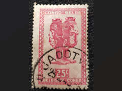
Belgian Congo
Town
Kambove
Cacellation Date
28 Jan 1921
Town Info
Kambove is a town in the Haut-Katanga Province of the Democratic Republic of the Congo. Kambove lies at an altitude of 4783 ft (1457 m). Economic activity in the area includes cobalt processing.[2] Kambove is the center of the Kambove mines region. Gécamines, a state-owned mining company, owns the Kamoya central, Kamoya south, Shangolowe and Kamfundwa mines. Ore from these mines is transported to the concentrator at Kambove for extraction of copper and cobalt.
Location
Black Page 2
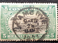
Belgian Congo
Town
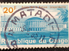
Leopoldville
Cacellation Date
9 Aug 1952
Town Info
Leopoldville may refer to: Léopoldville, the capital of the Belgian colony of Congo, before it was renamed Kinshasa in 1966
Location
Collection
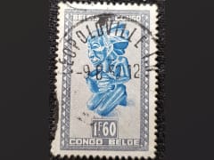
CountryBophuthatswana
Bophuthatswana
Town
Bafokeng
Cacellation Date
05 Jan 1982
Town Info
Location
Covers
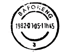
Bophuthatswana
Town
Ga-Rankuwa
Cacellation Date
31 Jan 1979
Town Info
Ga-Rankuwa is a suburb located about 37 km north of Pretoria. Provincially it falls Gauteng province, but it used to be under North West Province, as it belonged to 2million private property company, ruled by The sisters of St Augustine, during the apartheid years.
Location
Box
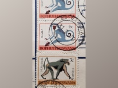
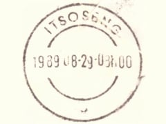
Bophuthatswana
Town
Itsoseng
Cacellation Date
29 Aug 1989
Town Info
Location
Covers
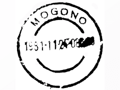
Bophuthatswana
Town
Mogono
Cacellation Date
24 Nov 1981
Town Info
Location
Covers
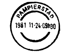
Bophuthatswana
Town
Pampierstad
Cacellation Date
24 Nov 1981
Town Info
Location
Covers
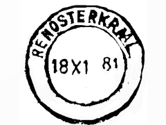
Bophuthatswana
Town
Renosterkraal
Cacellation Date
18 Nov 1981
Town Info
Location
Covers
Bophuthatswana
Town
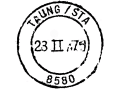
Taung Station
Cacellation Date
23 Feb 1979
Town Info
Location
CountryBotswana
Botswana
Town
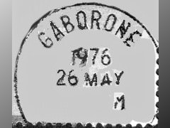
Gaborone
Cacellation Date
26 May 1976
Town Info
Gaborone is the capital city of Botswana. It’s known for the Gaborone Game Reserve, sheltering native animals like wildebeest and impala, plus resident and migratory birds. To the city’s southwest, rhinos and giraffes inhabit the Mokolodi Nature Reserve. Footpaths lead to city views at the summit of Kgale Hill. In the city center, the National Museum and Art Gallery displays art and cultural artifacts.
Location
Black Page 2
Botswana
Town
Ghanzi
Cacellation Date
Town Info
Ghanzi is a town in the middle of the Kalahari Desert the western part of the Republic of Botswana in southern Africa. At the time of the 2011 census, there were 12,167 people living in the town with another 861 nearby. It is the administrative center of Ghanzi District and is known as the "Capital of the Kalahari".
Location
Black Page 2
Botswana
Town
Mahalapye
Cacellation Date
11 Jun 1970
Town Info
Mahalapye is a town located in the Central District of Botswana. The town has about 41,000 inhabitants and is situated along the main road between the capital Gaborone and the second largest city Francistown.
Location
Black Page 2

Botswana
Town
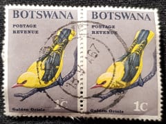
Serowe
Cacellation Date
18 May 1967
Town Info
Serowe is a town in Botswana's Central District. A trade and commercial centre, it is Botswana's largest village. Serowe has played an important role in Botswana's history, as capital for the Bamangwato people in the early 20th century and as birthplace of several of Botswana's presidents.
Location
Black Page 2
CountryBritish East Africa
British East Africa
Town
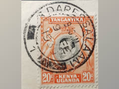
Dar Es Salaam
Cacellation Date
9 Feb 1939
Town Info
Dar es Salaam, a major city and commercial port on Tanzania’s Indian Ocean coast, grew from a fishing village. The open-air Village Museum has re-created the traditional homes of local and other Tanzanian tribes and hosts tribal dancing. It’s part of the National Museum, which offers Tanzanian history exhibits, including the fossils of human ancestors found by anthropologist Louis Leakey.
Location
Black Page 2
British East Africa
Town
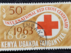
Embakasi
Cacellation Date
Town Info
Embakasi is a division of Nairobi, the capital of Kenya. It is located east of the central business district. As a resident to most of the Kenyans celebrities and also accommodates lots of factories.It is also one of the fast developing divisions in Kenya.
Location
Black Page 2
British East Africa
Town
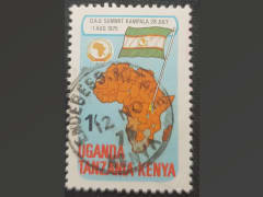
Endebess
Cacellation Date
12 Nov 1975
Town Info
Endebess is a small town that houses the headquarters for the division in Trans-Nzoia County, Kenya. The town is located 17 kilometers west of Kitale, the location of the county headquarters.
Location
Black Page 2
British East Africa
Town
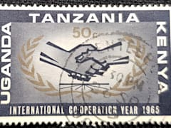
Entebbe
Cacellation Date
26 Sep 1965
Town Info
Entebbe is a town on a peninsula in Lake Victoria, in Central Uganda. Area beaches include busy Lido Beach, near Entebbe International Airport. The lakeside Uganda Wildlife Education Centre protects native animals in wetland, forest and savanna habitats. Nearby, Entebbe Botanical Garden has diverse plants, birds and monkeys. Also close by is the Ngamba Island Chimpanzee Sanctuary, which protects orphaned chimps.
Location
Black Page 2
British East Africa
Town
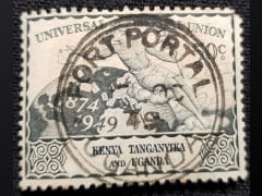
Fort Portal
Cacellation Date
1949
Town Info
Fort Portal is a designated "Tourism city of Uganda", located in the Western Region of the country. It is the seat of both Kabarole District and the Toro Kingdom.
Location
Black Page 2
British East Africa
Town
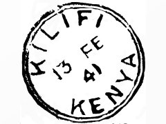
Kilifi
Cacellation Date
13 Feb 1941
Town Info
Kilifi is a town on the coast of Kenya, north of Mombasa. It's near Kilifi Creek, along an estuary of the Goshi River. The town is known for Indian Ocean beaches, including Bofa Beach, dotted with resorts. Nearby, green turtles swim among coral reefs in Watamu Marine National Park and Reserve. The Mnarani Ruins, archaeological remains of a centuries-old Swahili settlement, include 2 mosques and several tombs
Location
Black Page 2
British East Africa
Town
Mombasa
Cacellation Date
Town Info
Mombasa is a coastal city of Kenya along the Indian Ocean. It is the country's oldest and second-largest city, with an estimated population of about 1.5 million people in 2017. Its metropolitan region is the second largest in the country and has a population of approximately 3 million people.
Location
Black Page 2
British East Africa
Town
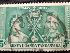
Nairobi
Cacellation Date
28 Feb 1945
Town Info
Nairobi is Kenya’s capital city. In addition to its urban core, the city has Nairobi National Park, a large game reserve known for breeding endangered black rhinos and home to giraffes, zebras and lions. Next to it is a well-regarded elephant orphanage operated by the David Sheldrick Wildlife Trust. Nairobi is also often used as a jumping-off point for safari trips elsewhere in Kenya.
Location
Black Page 2
British East Africa
Town
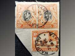
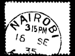
Nairobi
Cacellation Date
16 Sep 1935
Town Info
Nairobi is Kenya’s capital city. In addition to its urban core, the city has Nairobi National Park, a large game reserve known for breeding endangered black rhinos and home to giraffes, zebras and lions. Next to it is a well-regarded elephant orphanage operated by the David Sheldrick Wildlife Trust. Nairobi is also often used as a jumping-off point for safari trips elsewhere in Kenya.
Location
Black Page 2
British East Africa
Town
Nakuru
Cacellation Date
22 Jun 1968
Town Info
Nakuru is the capital city of Nakuru County, Kenya. It is northwest of Nairobi, in the Great Rift Valley. Nearby is Lake Nakuru National Park, home to rhinos, giraffes, lions and leopards. Lake Nakuru is an algae-filled soda lake that attracts thousands of flamingos. Lookout points such as Baboon Cliff and Lion Hills offer views of the birds, the lake and mammals including warthogs and baboons.
Location
Black Page 2
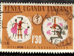
British East Africa
Town
Nanyuki
Cacellation Date
7 Nov 1963
Town Info
Nanyuki is a town in central Kenya. It's known as a gateway to Mount Kenya and the wilderness of Mount Kenya National Park. Several trails, including the Naro Moru and Sirimon routes, ascend the mountain. The park’s wildlife includes leopards, giant forest hogs and more than 100 bird species. Northwest of Nanyuki, the plains and hills of the vast Laikipia Plateau are home to lions, elephants and rare Grevy’s zebras.
Location
Black Page 2

CountryCongo (Brazzaville)
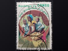
Congo (Brazzaville)
Town
Poto-Poto
Cacellation Date
26 Dec 1995
Town Info
Poto-Poto is the name of one of the original residential neighborhoods of the city of Brazzaville, capital of the Republic of Congo.
Location
Collection
CountryEgypt
Egypt
Town
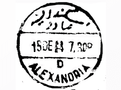
Alexandria
Cacellation Date
15 Dec 1944
Town Info
Alexandria is a Mediterranean port city in Egypt. During the Hellenistic period, it was home to a lighthouse ranking among the Seven Wonders of the Ancient World as well as a storied library. Today the library is reincarnated in the disc-shaped, ultramodern Bibliotheca Alexandrina. The city also has Greco-Roman landmarks, old-world cafes and sandy beaches. Its 15th-century seafront Qaitbay Citadel is now a museum
Location
Black Page 2
Egypt
Town
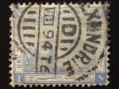
Alexandrie
Cacellation Date
Aug 1894
Town Info
Alexandria is a Mediterranean port city in Egypt. During the Hellenistic period, it was home to a lighthouse ranking among the Seven Wonders of the Ancient World as well as a storied library. Today the library is reincarnated in the disc-shaped, ultramodern Bibliotheca Alexandrina. The city also has Greco-Roman landmarks, old-world cafes and sandy beaches. Its 15th-century seafront Qaitbay Citadel is now a museum.
Location
Black Page 2
Egypt
Town
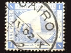
Cairo
Cacellation Date
Apr 1902
Town Info
Cairo, Egypt’s sprawling capital, is set on the Nile River. At its heart is Tahrir Square and the vast Egyptian Museum, a trove of antiquities including royal mummies and gilded King Tutankhamun artifacts. Nearby, Giza is the site of the iconic pyramids and Great Sphinx, dating to the 26th century BC. In Gezira Island’s leafy Zamalek district, 187m Cairo Tower affords panoramic city views.
Location
Black Page 2
Egypt
Town
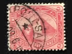
Port
Cacellation Date
Town Info
Port Said is an Egyptian city at the northern end of the Suez Canal, on the Mediterranean Sea. A concrete lighthouse dates from the canal’s opening in 1869. On the waterfront is the former department store Simon Arzt. Now disused, the art deco building offers a glimpse into the past, to when Port Said was a cosmopolitan trading hub. Nearby is the Islamic-style Suez Canal Authority Building, with its green domes.
Location
Black Page 2
CountryGhana
Ghana
Town
Anloga
Cacellation Date
20 May
Town Info
Anloga is a town in Keta District of the Volta Region in southeast Ghana. It lies east of the Volta River and just south of the Keta Lagoon. Anloga is the forty-seventh most populous in Ghana, in terms of population, with a population of 35,933 people.
Location
Collection
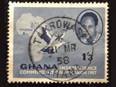
Ghana
Town
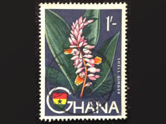
Takrowase
Cacellation Date
21 Mar 1958
Town Info
Location
Black Page 3
CountryGold Coast
Gold Coast
Town
Accra
Cacellation Date
23 Nov 1954
Town Info
Accra is the capital of Ghana, on the Atlantic coast of West Africa. Kwame Nkrumah Memorial Park honors Ghana’s first president, who helped lead the country to independence. The park contains Nkrumah’s mausoleum and a museum charting his life. Makola Market is the city’s vast, colorful bazaar. Popular seafront spots Labadi Beach and Kokrobite Beach offer golden sand and high-energy nightlife.
Location
Black Page 2
Gold Coast
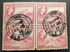
Town
Takoradi
Cacellation Date
22 Oct 1952
Town Info
Sekondi-Takoradi, a city comprising the twin cities of Sekondi and Takoradi. It is the capital of Sekondi – Takoradi Metropolitan District and the Western Region of Ghana. Sekondi-Takoradi is the region's largest city and an industrial and commercial centre, with a population of 445,205 people.
Location
File
CountryKenya
Kenya
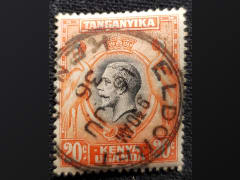
Town
Eldoret
Cacellation Date
16 Jun 1936
Town Info
Eldoret, City in Kenya; a principal city in Riftvalley region and the fifth largest in the country also serves as the capital of Uasin Gishu County. Lying south of the Cherangani Hills, the local elevation varies from about 2100 metres at the airport to more than 2700 metres in nearby areas.
Location
Black Page 3
Kenya
Town
Kitale
Cacellation Date
3 May 2010
Town Info
Kitale is an agricultural town in northern Rift Valley Kenya situated between Mount Elgon and the Cherangany Hills at an elevation of around 1,900 metres. Its population is 106,187 as of 2009. Kitale is the headquarter town of Trans-Nzoia County. The National Museum of Western Kenya is located at Kitale
Location
Black Page 3
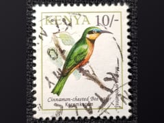
Kenya
Town
Mombasa
Cacellation Date
20 Dec 1967
Town Info
Mombasa is a coastal city of Kenya along the Indian Ocean. It is the country's oldest and second-largest city, with an estimated population of about 1.5 million people in 2017. Its metropolitan region is the second largest in the country and has a population of approximately 3 million people.
Location
Black Page 3
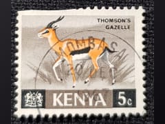
Kenya
Town
Nakuro
Cacellation Date
21 Dec 1964
Town Info
Nakuru is the capital city of Nakuru County, Kenya. It is northwest of Nairobi, in the Great Rift Valley. Nearby is Lake Nakuru National Park, home to rhinos, giraffes, lions and leopards. Lake Nakuru is an algae-filled soda lake that attracts thousands of flamingos. Lookout points such as Baboon Cliff and Lion Hills offer views of the birds, the lake and mammals including warthogs and baboons.
Location
Black Page 3
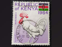
CountryMalawi
Malawi
Town
Chichiri
Cacellation Date
4 Jun 1982
Town Info
Is situated in Blantyre district
Location
Collection
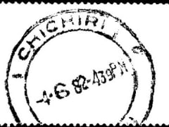
Malawi
Town
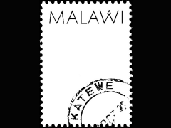
Katewe
Cacellation Date
Oct 1992
Town Info
Katewe is a populated place and is located in Dedza District, Central Region, Malawi. The estimate terrain elevation above seal level is 1232 metres.
Location
Collection
Malawi
Town
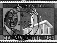
Mzimba
Cacellation Date
17 Aug 1964
Town Info
Mzimba is a town in the Mzimba District of Malawi. The district is inhabited by descendants of Tumbuka and Ngoni people. The district of Mzimba has a number of Traditional Authorities from the Ngoni people. The head of these Traditional Authorities, or Paramount Chief, is M'Mbelwa IV.
Location
Collection
Malawi
Town
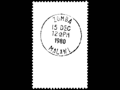
Zomba
Cacellation Date
15 Dec 1980
Town Info
Zomba is a city in southern Malawi. It was Malawi’s capital until 1975. The British colonial past is evident in the architecture. The National Herbarium and Botanic Gardens houses rare and medicinal plants. The city is at the foot of the Zomba Plateau, which has forest trails, waterfalls and sweeping views over the surrounding plains. The plateau is home to baboons, giant butterflies and raptors.
Location
Black Page 3
CountryMauritius
Mauritius
Town
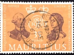
Beau Basin
Cacellation Date
16 Dec 1961
Town Info
Beau-Bassin Rose-Hill is a town in Mauritius, located in the Plaines Wilhems District, it is administered by the Municipal Council of Beau-Bassin Rose-Hill. According to the census made by Statistics Mauritius in 2015, the population of the town was at 104,610.
Location
Black Page 3
Mauritius
Town
Curepipe
Cacellation Date
9 Oct
Town Info
Curepipe also known as La Ville-Lumière, is a town in Mauritius, located in the Plaines Wilhems District, the eastern part also lies in the Moka District. The town is administered by the Municipal Council of Curepipe. Curepipe lies at a higher elevation, often referred to as the "Central Plateau".
Location
Black Page 3
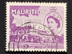
Mauritius
Town
Curepipe Road
Cacellation Date
Town Info
Curepipe also known as La Ville-Lumière, is a town in Mauritius, located in the Plaines Wilhems District, the eastern part also lies in the Moka District. The town is administered by the Municipal Council of Curepipe. Curepipe lies at a higher elevation, often referred to as the "Central Plateau".
Location
Black Page 3
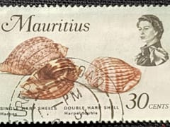
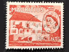
Mauritius
Town
Mahebourg
Cacellation Date
18 Sep 1953
Town Info
Mahébourg is a village on the south-eastern coast of the island of Mauritius, having a population of 15,457 as of 2015. It is considered the main village of the Grand Port District.
Location
Black Page 3
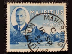
Mauritius
Town
Mauritius 2
Cacellation Date
28 May 1893
Town Info
Location
Black Page 4

Mauritius
Town
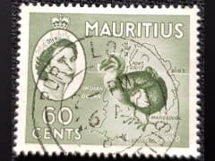
Port Louis
Cacellation Date
Town Info
Port Louis is the capital city of Mauritius, in the Indian Ocean. It's known for its French colonial architecture and the 19th-century Champ de Mars horse-racing track. The Caudan Waterfront is a lively dining and shopping precinct. Nearby, vendors sell local produce and handicrafts at the huge Central Market. The Blue Penny Museum focuses on the island’s colonial and maritime history, along with its culture.
Location
Collection
Mauritius
Town
Port Louis - 2
Cacellation Date
4 Dec 1954
Town Info
Port Louis is the capital city of Mauritius, in the Indian Ocean. It's known for its French colonial architecture and the 19th-century Champ de Mars horse-racing track. The Caudan Waterfront is a lively dining and shopping precinct. Nearby, vendors sell local produce and handicrafts at the huge Central Market. The Blue Penny Museum focuses on the island’s colonial and maritime history, along with its culture.
Location
Black Page 3
Mauritius
Town
Registered
Cacellation Date
Town Info
Location
Black Page 3
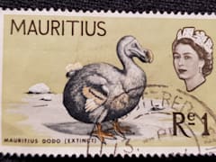
Mauritius
Town
Rose Hill
Cacellation Date
Town Info
Beau-Bassin Rose-Hill is a town in Mauritius, located in the Plaines Wilhems District, it is administered by the Municipal Council of Beau-Bassin Rose-Hill. According to the census made by Statistics Mauritius in 2015, the population of the town was at 104,610
Location
Collection
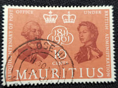
Mauritius
Town
Trou d'eau Douce
Cacellation Date
1993
Town Info
Trou d'Eau Douce, The village takes its name from the fact that at a place on the shore, Belle Isle, source drinking water and comes into contact with salt water. The first inhabitants of Mauritius were the Dutch , but they did not live there. The Batavian ships docked the island for supplies of water and food ( turtles and dodos ) on their trips to and from their colonies in the Dutch East Indies . Trou d'Eau Douce was one of the first places in their water supply, hence the name. The first dwellings date from the period 1653 - 1658 , under the government of Reiner Por. On a map of Pieter van der Aa , dating from 1721 , Trou d'Eau Douce appears under the name of Oostersgat, literally " the hole to the east ". In 1655 , the village was with Flacq and the bay of Grand Port, the only Batavian houses on the island. The period of French colonization was more prosperous. The names of several districts bear witness to this: Montée Bastille, La Peyrousse, Maho, Débarcadère, Sept Croisés, Camp Nadal, among others. But there are also Dutch- sounding names like Despéroux, or British like Victoria. The village was home to a sugar cane factory in Victoria, as well as a lime kiln in Le Maho. The lime was an essential component in the production of sugar to the old. With the abolition of slavery in 1839 , many freedmen stopped working in the fields and settled along the coast, especially at Debaradere and Le Maho, and lived by fishing . Hence the origin of the fishing tradition at Trou d'Eau Douce.
Location
Black Page 3
CountryMozambique
Mozambique
Town
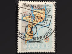
Beira
Cacellation Date
30 Sep 1961
Town Info
Beira is the capital and largest city of Sofala Province, where the Pungwe River meets the Indian Ocean, in the central region of Mozambique. It is the fourth-largest city by population in Mozambique, after Maputo, Matola and Nampula. Beira had a population of 397,368 in 1997, which grew to 530,604 in 2019.
Location
Black Page 3
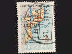
Mozambique
Town
Lourenco Marques
Cacellation Date
22 Oct 1955
Town Info
Maputo officially named Lourenço Marques until 1976, is the capital and most populous city of Mozambique. Maputo, capital of East Africa’s Mozambique, is an Indian Ocean port with preserved Portuguese colonial architecture. Many turn-of-the-century buildings are in the downtown jacaranda-lined Baixa neighborhood. The bronze-domed CFM Maputo Railway Station, for example, was completed in 1916. The Baixa also has an expansive Municipal Market. The neoclassical City Hall is in the nearby Praça da Independência square.
Location
Black Page 3
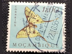
Mozambique
Town
Lourenco Marques - 2
Cacellation Date
24 Mar 1954
Town Info
Maputo officially named Lourenço Marques until 1976, is the capital and most populous city of Mozambique. Maputo, capital of East Africa’s Mozambique, is an Indian Ocean port with preserved Portuguese colonial architecture. Many turn-of-the-century buildings are in the downtown jacaranda-lined Baixa neighborhood. The bronze-domed CFM Maputo Railway Station, for example, was completed in 1916. The Baixa also has an expansive Municipal Market. The neoclassical City Hall is in the nearby Praça da Independência square.
Location
Black Page 3
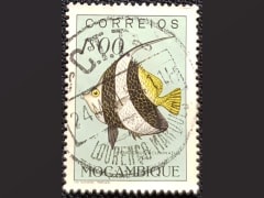
Mozambique
Town
Lourenco Marques - 3
Cacellation Date
3 Mar 1961
Town Info
Maputo officially named Lourenço Marques until 1976, is the capital and most populous city of Mozambique. Maputo, capital of East Africa’s Mozambique, is an Indian Ocean port with preserved Portuguese colonial architecture. Many turn-of-the-century buildings are in the downtown jacaranda-lined Baixa neighborhood. The bronze-domed CFM Maputo Railway Station, for example, was completed in 1916. The Baixa also has an expansive Municipal Market. The neoclassical City Hall is in the nearby Praça da Independência square.
Location
Black Page 3
CountryNigeria
Nigeria
Town
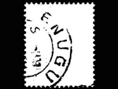
Enugu
Cacellation Date
--
Town Info
Enugu is the capital of Enugu State in Nigeria. It is located in southeastern Nigeria. The city had a population of 722,664 according to thThe first settlement in the Enugu area was the small Nike village of Ogui, which was present since the era of the Atlantic Slave Trade. Nike in the Igbo language means "with strength or power." It was through slave raiding that the Nike people acquired most of their lands, which were mostly unsettled. The Nike used slaves for a defence strategy, placing slave camps at the edge of their territories so that it was harder for an enemy to access the free born. The Nike people were allied to the Aro people who formed the which was an Igbo organisation that controlled slave trading in the Enugu area. Along with the Aro people who came to trade from Arochukwu in the south were the Hausa people who came to trade from the north. The Hausa traders provided horses to the Nike which were used for rituals by the Igbo. Both the Aro and Hausa migrated back and forth to what is now the city of Enugu and were considered foreigners to the area. The name Enugu is derived from the two Igbo words Énú Ụ́gwụ́ meaning "hill top" denoting the city's hilly geography.
Location
Black Page 3
Nigeria
Town
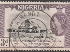
Kano Airport
Cacellation Date
13 May 1959
Town Info
Mallam Aminu Kano International Airport is an airport serving Kano, the capital city of Kano State of Nigeria. It was a Royal Air Force station before the country became independent. It is the main airport serving northern Nigeria and was named after politician Aminu Kano. Mallam Aminu Kano International Airport is the oldest in Nigeria and the first aircraft landed in Nigeria was landed in Kano in 1922, with operations starting in 1936. In the first decades of operation, it became an important fuel stop for airlines flying long-haul services between Europe and Africa. Newer aircraft did not need such fuel stops and, with the demise of the Kano economy in the late 20th century, many international airlines stopped serving the airport. When they indefinitely suspended services to Kano in June 2012, KLM was the only European airline serving Kano, which they had done without interruption since 1947.
Location
Collection
Nigeria
Town
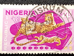
Potiskum
Cacellation Date
Town Info
Potiskum is a Local Government Area in Yobe State, Nigeria, on the A3 highway at 11°43′N 11°04′E. It had an area of 559 square kilometres and a population of 205,876 at the 2006 census. The postal code of the area is 631. Potiskum is the main settlement for the Ngizim, Kare-kare and Bolewa people.
Location
Black Page 3
CountryNorthern Rhodesia
Northern Rhodesia
Town
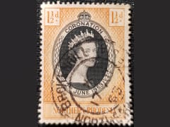
Broken Hill (Kabwe)
Cacellation Date
17 Aug 1953
Town Info
Kabwe is the capital of the Zambian Central Province with a population estimated at 202,914 at the 2010 census. Named Broken Hill until 1966, it was founded when lead and zinc deposits were discovered in 1902. Kabwe also has a claim to being the birthplace of Zambian politics as it was an important political centre during the colonial period.[1] It is an important transportation and mining centre.
Location
Black Page 3
Northern Rhodesia
Town
Luwingu
Cacellation Date
Town Info
Luwingu District is a district of Zambia, located in Northern Province. The capital lies at Luwingu. As of the 2000 Zambian Census, the district had a population of 80,758 people.
Location
Black Page 3
Northern Rhodesia
Town
Ndola
Cacellation Date
17 May 1960
Town Info
Ndola is a city in Zambia’s Copperbelt Province. The city’s Copperbelt Museum explores the history of the area's copper-mining industry. Nearby, the Mupapa Slave Tree is a giant pod mahogany tree that was the site of a slave market in the 19th century. East of the city, Lake Chilengwa is at the bottom of a large sunken crater. To the south, Nsobe Game Camp is home to giraffes, zebras and antelope.
Location
FDC

CountryRhodesia
Rhodesia
Town
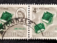
Avondale
Cacellation Date
Town Info
Avondale is a suburb of Harare, Zimbabwe, located about 3.5 kilometres north of Harare city centre. It is the earliest suburb established in Harare, having been laid out in 1903.
Location
Black Page 3
Rhodesia
Town
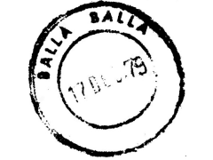
Balla Balla
Cacellation Date
17 Dec 1979
Town Info
Mbalabala (Balla Balla until 1982) is a village on the main Beitbridge-Bulawayo road (at the junction with the Filabusi Road) in Matabeleland, Zimbabwe. Situated approximately 41 miles (66 km) south-east of the city of Bulawayo. The name is derived from the Ndebele name for the greater kudu (scientific name: Tragelaphus strepsiceros). It was originally rendered Balla Balla by Europeans, which was altered to its present name in 1982 by the Zimbabwean government in order to coincide closer with the local pronunciation. The village has a railway station on the Beitbridge Bulawayo Railway and is the railhead for the mining area of Filabusi. The village also hosts a large army barracks, which is the Zimbabwe School of Infantry, formerly Shaw Barracks for the Rhodesian African Rifles from 1976 to 1980. The site was previously St. Stephen's College from February 1959 to December 1975. Mbalabala is situated on high ground, which forms a ridge between the Mzingwane and Mbilambowe watersheds, in an important cattle ranching area with a history of gold prospecting. There is a prominent landmark nearby in the form of a granite hill (kopje) known as Balloon Kop or "Baldy" - due to its bare rock.
Location
Covers
Rhodesia
Town
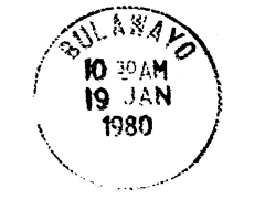
Bulawayo
Cacellation Date
19 Jan 1980
Town Info
Bulawayo is a city in southwest Zimbabwe. It’s a gateway to Matobo National Park, home to the Matobo Hills rock formations and Stone Age cave art. Park wildlife includes rhinos and black eagles. Nearby, Tshabalala Game Sanctuary has zebra and impala. West of Bulawayo, the ruins of 15th-century Khami city comprise stone walls and terraces. Bulawayo’s Natural History Museum of Zimbabwe displays finds from the site.
Location
Covers File
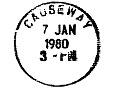
Rhodesia
Town
Causeway
Cacellation Date
07 Jan 1980
Town Info
Location
Covers File
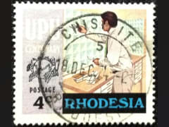
Rhodesia
Town
Chisipite
Cacellation Date
18 Dec 1974
Town Info
Location
Black Page 3
Rhodesia
Town
Gwelo
Cacellation Date
29 Oct 1979
Town Info
Rhodesia, Gwelo (now Zimbabwe, Gweru) city centre 1960s
Location
Covers File
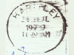
Rhodesia
Town
Hartley
Cacellation Date
21 Jul 1979
Town Info
Chegutu, formerly Hartley, town, central Zimbabwe. Named originally for Henry Hartley, who discovered gold in the vicinity, it was founded in 1891 on the Umfuli River but about 1900 was moved 18 miles (29 km) west. A town-management board was constituted in 1942.
Location
Covers File
Rhodesia
Town
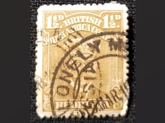
Lonely Mine
Cacellation Date
15 Mar
Town Info
Lonely Mine is a village in Matabeleland North, Zimbabwe and is located about 84 km north-east of Bulawayo, just north of Inyati. It was established in 1906 when gold was discovered in the area. Gold, nickel and tungsten are still mined in the area today.
Location
Black Page 3
Rhodesia
Town
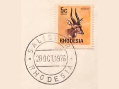
Salisbury
Cacellation Date
28 Oct 1976
Town Info
Harare, officially Salisbury until 1982 is the capital and most populous city of Zimbabwe. The city proper has an area of 960.6 km2 (371 mi2) and an estimated population of 1,606,000 in 2009, with 2,800,000 in its metropolitan area in 2006. Situated in north-eastern Zimbabwe in the country's Mashonaland region, Harare is a metropolitan province, which also incorporates the municipalities of Chitungwiza and Epworth. The city sits on a plateau at an elevation of 1,483 metres (4,865 feet) above sea level and its climate falls into the subtropical highland category. The city was founded in 1890 by the Pioneer Column, a small military force of the British South Africa Company, and named Fort Salisbury after the UK Prime Minister Lord Salisbury. Company administrators demarcated the city and ran it until Southern Rhodesia achieved responsible government in 1923. Salisbury was thereafter the seat of the Southern Rhodesian (later Rhodesian) government and, between 1953-63, the capital of the Central African Federation. It retained the name Salisbury until 1982, when it was renamed Harare on the second anniversary of Zimbabwean independence from the United Kingdom.
Location
FDC
Rhodesia
Town
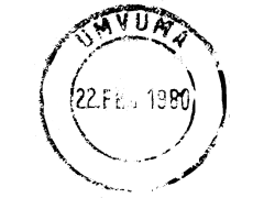
Umvuma
Cacellation Date
22 Feb 1980
Town Info
Mvuma, previously named 'Umvuma', is a small mining town in Midlands province in Zimbabwe. Located 192 km south of Harare along the Harare - Masvingo highway. Approx 100 km from Masvingo.
Location
Covers File
Rhodesia
Town
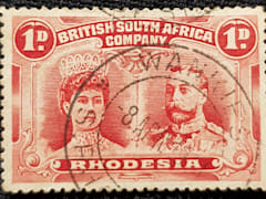
Wankie 5
Cacellation Date
8 Apr 1911
Town Info
Hwange is a town in Zimbabwe, located in Hwange District, in Matabeleland North Province, in northwestern Zimbabwe, close to the international borders with Botswana and Zambia. It lies approximately 100 kilometres, by road, southeast of Victoria Falls, the nearest large city.
Location
Collection
CountryRhodesia & Nyasaland
Rhodesia & Nyasaland
Town
Livingstone
Cacellation Date
28 Mar 1963
Town Info
Livingstone is a town in southwestern Zambia, a few kilometers from the Zambezi River and the border with Zimbabwe. It’s a hub for visitors to the Victoria Falls. The adjoining Mosi-oa-Tunya National Park surrounds the Zambian side of the falls. The Livingstone Museum traces local history and archaeology, and the life of the Scottish explorer, David Livingstone, after whom the town was named.
Location
Black Page 3
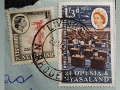
Rhodesia & Nyasaland
Town
Que Que
Cacellation Date
17 Dec 1956
Town Info
Kwekwe, known until 1983 as Que Que, is a city in central Zimbabwe.
Location
Covers
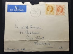
CountrySouthern Rhodesia
Southern Rhodesia
Town
Bulawayo
Cacellation Date
Town Info
Bulawayo is a city in southwest Zimbabwe. It’s a gateway to Matobo National Park, home to the Matobo Hills rock formations and Stone Age cave art. Park wildlife includes rhinos and black eagles. Nearby, Tshabalala Game Sanctuary has zebra and impala. West of Bulawayo, the ruins of 15th-century Khami city comprise stone walls and terraces. Bulawayo’s Natural History Museum of Zimbabwe displays finds from the site.
Location
Black Page 4
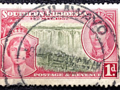
Southern Rhodesia
Town
Golden Valley
Cacellation Date
1949
Town Info
Golden Valley, Zimbabwe is a village in Mashonaland West province in Zimbabwe.
Location
Covers

Southern Rhodesia
Town
Que Que
Cacellation Date
8 Jun 1953
Town Info
Kwekwe, known until 1983 as Que Que, is a city in central Zimbabwe.
Location
Black Page 4
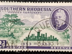
Southern Rhodesia
Town
Que Que
Cacellation Date
9 Feb 1960
Town Info
Kwekwe, known until 1983 as Que Que, is a city in central Zimbabwe.
Location
Covers
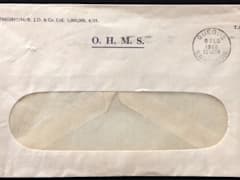
Southern Rhodesia
Town
Umtali
Cacellation Date
19 Dec 1935
Town Info
Mutare (known as Umtali until 1983 is the fourth largest city in Zimbabwe, with an urban population of approximately 188,243 and rural population of approximately 260,567. It is the capital of Manicaland province.
Location
Black Page 4
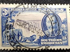
CountrySWA
SWA
Town
Gobabis
Cacellation Date
15 Jul 1958
Town Info
Gobabis is a city in eastern Namibia. It is the regional capital of the Omaheke Region, and the district capital of the Gobabis electoral constituency. Gobabis is situated 200 km down the B6 motorway from Windhoek to Botswana.
Location
Black Page 4
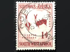
SWA
Town
Karibib
Cacellation Date
14 Dec 1957
Town Info
Karibib is a town in the Erongo Region of western Namibia. It has 3,800 inhabitants and owns 97 square kilometres of town land. Karibib is the district capital of the Karibib electoral constituency.
Location
Black Page 4
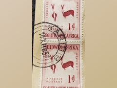
SWA
Town
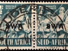
Luderitz
Cacellation Date
7 May 1943
Town Info
Lüderitz is a coastal town in southwestern Namibia. It’s known for its German colonial buildings, including the art nouveau Goerke Haus, built into the rock face on Diamond Hill. Nearby, Felsenkirche is a hilltop church with panoramic bay views stretching around to Robert Harbor. The Lüderitz Museum has displays about the town’s diamond-mining past as well as local and natural history.
Location
Collection
SWA
Town
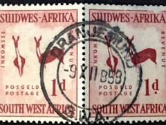
Oranjemund
Cacellation Date
9 Dec 1958
Town Info
Oranjemund is a diamond mining town of 4,000 inhabitants situated in the ǁKaras Region of the extreme southwest of Namibia, on the northern bank of the Orange River mouth at the border to South Africa.
Location
Black Page 4
SWA
Town
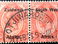
Otjiwarongo
Cacellation Date
21 Feb 1925
Town Info
Otjiwarongo is a city of 28,000 inhabitants in the Otjozondjupa Region of Namibia. It is the district capital of the Otjiwarongo electoral constituency and also the capital of Otjozondjupa. Otjiwarongo is situated in central-north Namibia on the TransNamib railway.
Location
Black Page 4
SWA
Town
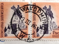
Swakopmund
Cacellation Date
3 Mar 1961
Town Info
Swakopmund is a coastal city in Namibia, west of the capital, Windhoek. Its sandy beaches face the Atlantic Ocean. Established by German colonists in 1892, the city’s colonial landmarks include the Swakopmund Lighthouse and the Mole, an old sea wall. Next to the lighthouse, the Swakopmund Museum documents Namibian history. Inland, the elegant Swakopmund Railway Station, now a hotel, also dates to the colonial era.
Location
Black Page 4
SWA
Town
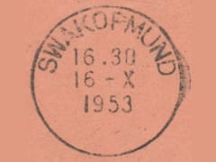
Swakopmund
Cacellation Date
16 Oct 1953
Town Info
Swakopmund is a coastal city in Namibia, west of the capital, Windhoek. Its sandy beaches face the Atlantic Ocean. Established by German colonists in 1892, the city’s colonial landmarks include the Swakopmund Lighthouse and the Mole, an old sea wall. Next to the lighthouse, the Swakopmund Museum documents Namibian history. Inland, the elegant Swakopmund Railway Station, now a hotel, also dates to the colonial era.
Location
Covers
SWA
Town
Windhoek
Cacellation Date
18 Aug 1951
Town Info
Windhoek is the capital of Namibia, in the country’s central highlands. South of the city, the sprawling Heroes’ Acre war memorial commemorates Namibia’s 1990 independence. On a hilltop in the city center are the 1890s Alte Feste, a former military headquarters with historical exhibits, and Independence Memorial Museum. Colonial influences are visible in nearby buildings like the sandstone Lutheran Christus Church.
Location
Black Page 4
CountrySwaziland
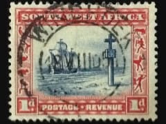
Swaziland
Town
Bhunya
Cacellation Date
Town Info
This place is situated in Manzini, Swaziland, its geographical coordinates are 26° 33' 0" South, 31° 1' 0" East and its original name (with diacritics) is Bhunya. See Bhunya photos and images from satellite below, explore the aerial photographs of Bhunya in Swaziland. Bhunya Airfield is a rural airstrip serving Bhunya, a forest products community in the Manzini Region of Eswatini. It is 8 kilometres (5 mi) southwest of the town.
Location
Black Page 4
Swaziland
Town
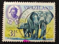
Bremersdorp
Cacellation Date
18 Nov 1957
Town Info
Manzini (formerly known as Bremersdorp) is a city in Eswatini (Swaziland), which is also the capital of Eswatini's Manzini Region. The city is the country's second largest urban centre behind Mbabane, with a population of 78,000 (2008). It is known as "The Hub" of Eswatini and lies on the MR3 road. Eswatini's primary industrial site at Matsapha lies near the town's western border. A commercial centre from the time a trading post was opened in 1885, Bremersdorp was designated a township in 1898. Arthur Bremer sold his hotel for use as British Colonial authorities who had administered Swaziland since 1894 as their national administrative headquarters, and stipulated that the settlement would bear his name (dorp is the Afrikaans word for "small town"). The name reverted to its original Swazi name, Manzini, in 1960. The town was a British/Boer colonial headquarters from 1890, but was destroyed in 1902 amid the Anglo-Boer War when the administrative centre was transferred to Mbabane. However, Bremersdorp subsequently remained the commercial, agricultural and transportation heart of Swaziland, earning the town the nickname "The Hub." Since its inception in the 1920s, the Agricultural Show (name later changed to the Swaziland International Trade Fair) has been the country's largest and best-attended annual event. In 1915, the first hotel since Bremersdorp's post-Anglo/Boer War reconstruction was opened on the banks of the Mzimene River. Named the Riverside Hotel, it remained opened until 1997, changing its name over the years to the Manzini Arms Hotel and in the 1990s the Velebantfu Hotel. The buildings were intact after closure for several years, but were leveled in 2008 by private developers. A shopping mall opened on the site in 2011.
Location
Black Page 4
Swaziland
Town
Bulembu
Cacellation Date
Town Info
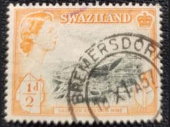
Bulembu is a small town located in northwestern Hhohho, Eswatini, 10 km west of the town of Piggs Peak. Located above the Komati Valley in Swaziland's Highveld, Bulembu is named after the siSwati word for a spider's web. The town of Bulembu is privately owned by a not-for-profit, Bulembu Ministries Eswatini.
Location
Black Page 4
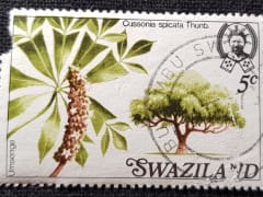
Swaziland
Town
Hlatikulu
Cacellation Date
1978
Town Info
Hlatikulu is a town located in the Shiselweni district of southern Eswatini.
Location
Black Page 4
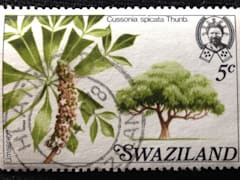
Swaziland
Town
Mbabane
Cacellation Date
22 Jun 1978
Town Info
Mbabane is the capital city of Swaziland, though parliament and the royal compound, Ludzidzini, are in nearby Lobamba. Surrounded by the Mdimba Mountains, it’s a gateway to Sibebe Rock, a huge granite mound with trails, caves and waterfalls. South, Ezulwini Valley has hot springs and craft markets. In Mantenga Nature Reserve, Mantenga Cultural Village re-creates 19th-century life with traditional huts and dances.
Location
Black Page 4
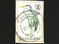
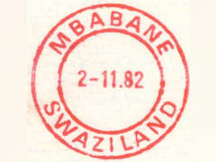
Swaziland
Town
Mbabane
Cacellation Date
02 Nov 1982
Town Info
Mbabane is the capital city of Swaziland, though parliament and the royal compound, Ludzidzini, are in nearby Lobamba. Surrounded by the Mdimba Mountains, it’s a gateway to Sibebe Rock, a huge granite mound with trails, caves and waterfalls. South, Ezulwini Valley has hot springs and craft markets. In Mantenga Nature Reserve, Mantenga Cultural Village re-creates 19th-century life with traditional huts and dances.
Location
Covers
Swaziland
Town
Mbabane
Cacellation Date
12 Feb 1968
Town Info
Mbabane is the capital city of Swaziland, though parliament and the royal compound, Ludzidzini, are in nearby Lobamba. Surrounded by the Mdimba Mountains, it’s a gateway to Sibebe Rock, a huge granite mound with trails, caves and waterfalls. South, Ezulwini Valley has hot springs and craft markets. In Mantenga Nature Reserve, Mantenga Cultural Village re-creates 19th-century life with traditional huts and dances.
Location
Black Page 4
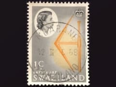
Swaziland
Town
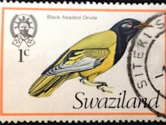
Siteki
Cacellation Date
Town Info
Siteki is a town in eastern Eswatini, lying west of the Lebombo Mountains. It is named for a declaration of Mbandzeni permitting his troops to marry.
Location
Black Page 4
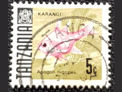
CountryTanzania
Tanzania
Town
Bagamoyo
Cacellation Date
4 Aug 2000
Town Info
Bagamoyo, Tanzania, is a town founded at the end of the 18th century, though it is an extension of a much older settlement, Kaole. It was the capital of German East Africa and was one of the most important trading ports along the East African coast along the west of the Indian Ocean.
Location
Collection
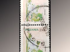
Tanzania
Town
Tanga
Cacellation Date
Town Info
Tanga is a port city in northeast Tanzania. Covering large swaths of coastline, Tanga Coelacanth Marine Park shelters prehistoric coelacanth fish and manatee-like dugongs. Within the park, Tanga Bay is home to Toten Island, with its ruined mosques and German colonial buildings. Tongoni village has centuries-old, ruined tombs. Northwest of Tanga, the limestone Amboni Caves are filled with stalagmites and stalactites.
Location
Collection
CountryZambia
Zambia
Town
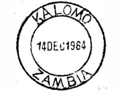
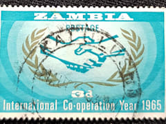
Kalomo
Cacellation Date
14 Dec 1964
Town Info
Kalomo is a town in southern Zambia, lying north east of Livingstone, on the main road and railway line to Lusaka. It is home to the Batonga people. It was the first administrative centre of Northern Rhodesia, serving until the capital city was established at Livingstone in 1907.
Location
Black Page 5
Zambia
Town
Kalulushi
Cacellation Date
Town Info
Kalulushi is a town in the Copperbelt Province in north central Zambia. Municipal population 75,806 at the 2000 Census. There is a famous story of the origin of the name Kalulushi. The story goes like this. Two gentlemen went hunting for rabbits. Rabbits, in Zambia's main local language, are referred to as "kalulu."
Location
Black Page 5
Zambia
Town
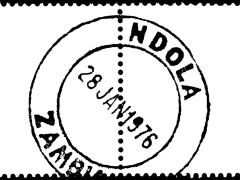
Ndola
Cacellation Date
28 Jan 1976
Town Info
Ndola is a city in Zambia’s Copperbelt Province. The city’s Copperbelt Museum explores the history of the area's copper-mining industry. Nearby, the Mupapa Slave Tree is a giant pod mahogany tree that was the site of a slave market in the 19th century. East of the city, Lake Chilengwa is at the bottom of a large sunken crater. To the south, Nsobe Game Camp is home to giraffes, zebras and antelope.
Location
Black Page 5
CountryZimbabwe
Zimbabwe
Town
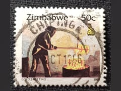
Chipinge
Cacellation Date
Oct 1996
Town Info
Chipinge is a town in Zimbabwe, located in Chipinge District, in Manicaland Province, in southeastern Zimbabwe, close to the border with Mozambique.
Location
Black Page 5
Zimbabwe
Town
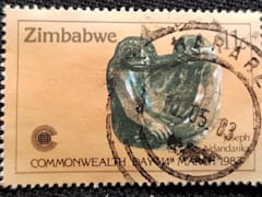
Harare
Cacellation Date
10 May 1983
Town Info
Harare is the capital of Zimbabwe. On the edge of landscaped Harare Gardens, the National Gallery of Zimbabwe has a large collection of African contemporary art and traditional pieces like baskets, textiles, jewelry and musical instruments. The unusual granite formation Epworth Balancing Rocks is southeast of the city. Wildlife such as zebras and giraffes roam Mukuvisi Woodlands, which has bike paths and a bird park.
Location
Black Page 5
